
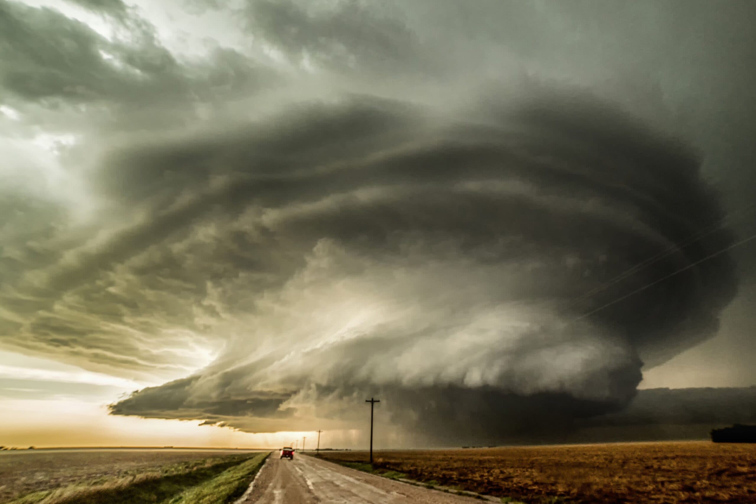

What is a ‘supercell’?
Oftentimes, storms form in environments where wind shear, or the changing of wind speed and/or direction with increasing height in the atmosphere, exists. This wind shear can cause a storm to rotate. In the Northern Hemisphere, this rotation is generally counterclockwise, and in the Southern Hemisphere, this rotation is clockwise.
Once this rotation occurs and a sustained mesocyclone (a persistent, rotating column of air within a storm) develops, the storm is then classified as a supercell.
Supercell Types
There are three main types of supercells:
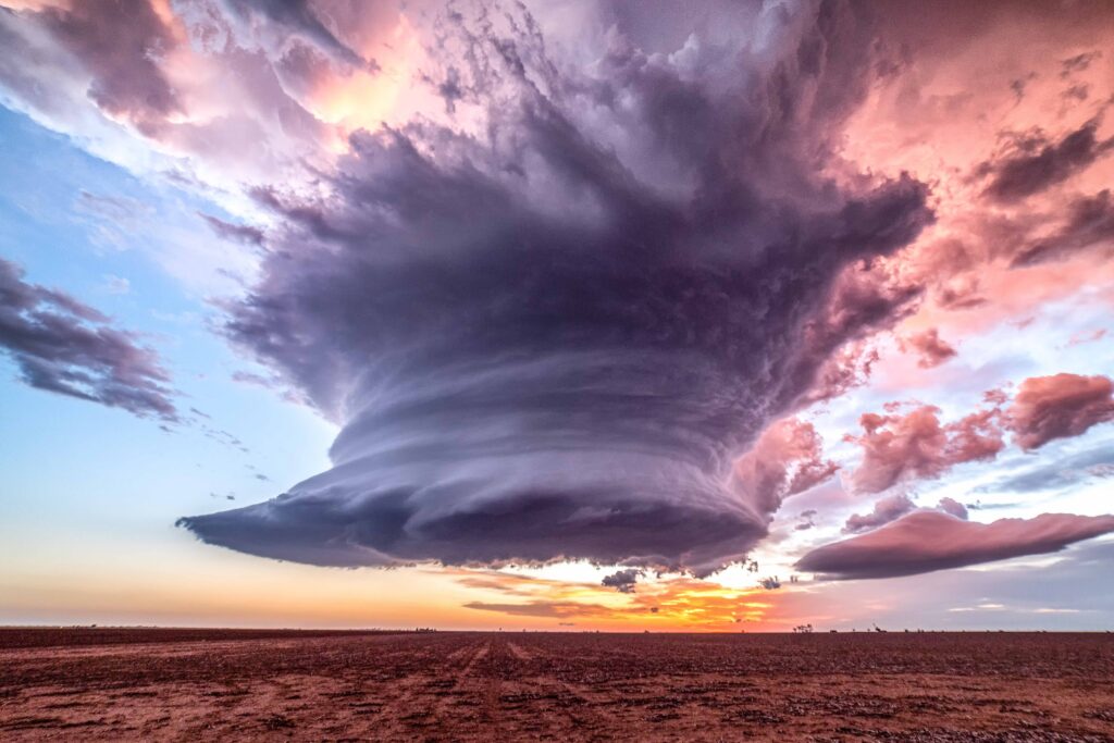
1. The first supercell is a low-precipitation, or LP, supercell. As the name suggests, these storms do not produce significant rain or hail cores. These storms are generally small and occur primarily in dry environments because there isn’t enough moisture to produce a larger, more substantial storm. There is usually strong enough wind shear and instability to show a sculpted updraft, sometimes spiraling like a corkscrew. These storms are not commonly tornado producers, although tornadoes are still possible.
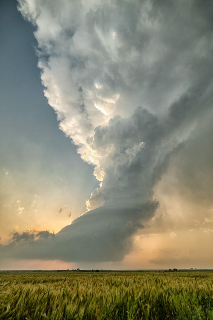
2. The next and most common type of supercell is the classic supercell. These storms typically display a classic hook echo on reflectivity scans, a strong, very tall updraft, and clearly distinct updraft and downdraft regions. These storms are usually isolated and are most commonly found on the Great Plains during severe weather season, where there is at least moderate instability, deep moisture, and moderate to strong wind shear. Tornadoes occur most commonly with classic supercells.
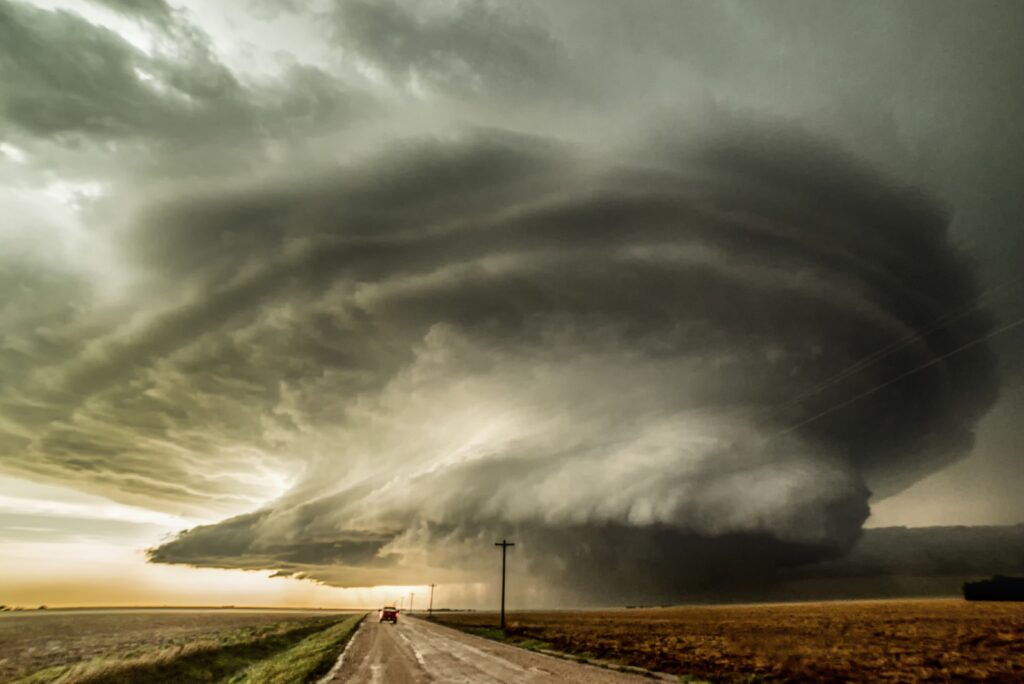
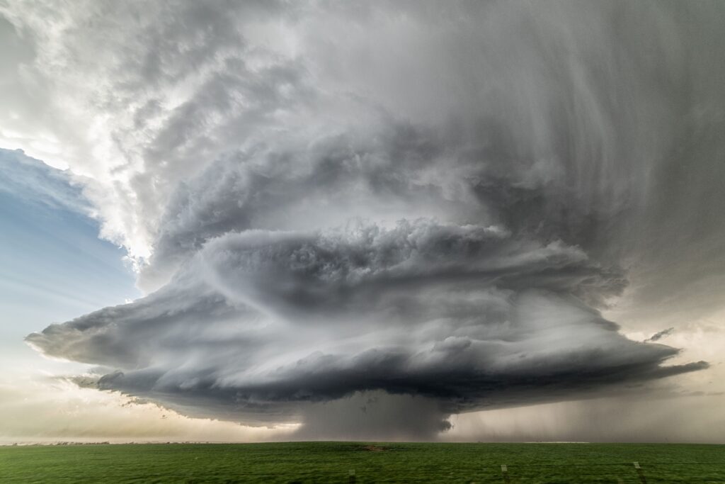
3. The last supercell type is the high-precipitation, or HP, supercell. These large storms form in very moist environments with weaker mid-level winds. These weaker winds, coupled with high moisture content in the atmosphere, result in HP storms that are less isolated, often with other storms around or connected to them.
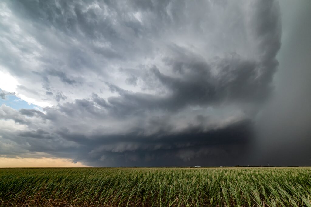
From the storm chaser’s perspective, these storms are usually the most dangerous to chase; the heavy precipitation decreases visibility around the storm, and any tornadoes within them may be wrapped in rain, making them difficult to observe without entering the storm’s core and potentially endangering yourself. These storms are best observed from a distance, as they can sometimes provide awe-inspiring storm structure.
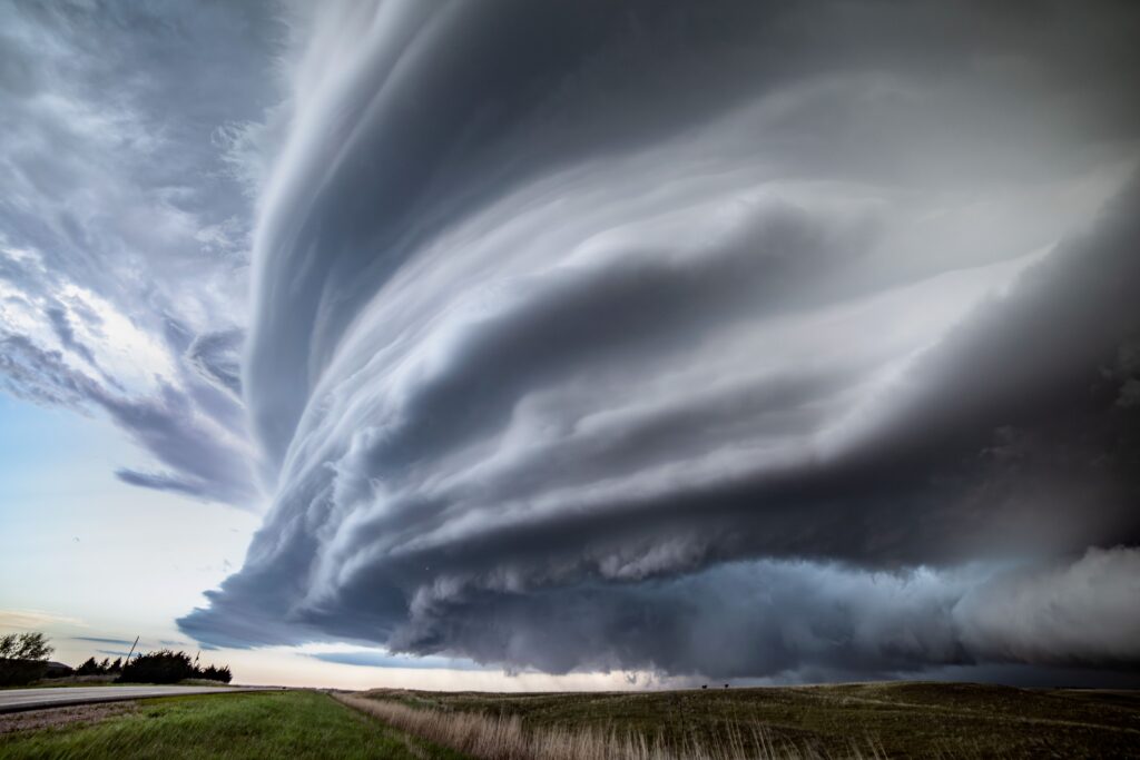
It is important to note that storms do often evolve over time, with one storm possibly progressing through all three supercell types listed above as it matures and then dissipates. Some supercells may only remain in one or two stages throughout their lifecycles.
In the cold season, mini-supercells (also called low-topped supercells) can also occur. These are low-topped versions of classic supercells with all the same mechanisms, but are much shorter in height. These storms can still produce tornadoes, though not as commonly as their larger classic supercell siblings.
Knowing supercell types helps one become a more astute observer of the atmosphere and better assess potential risks that may be associated with the storms observed out in the field.
Comments
Join the Conversation